Survey3 Example Media -
Aerial (UAS/Drone) Remote Sensing
CBrowse the below gallery of MAPIR Survey3 camera examples captured from aerial UAS/drones.
MAPIR Survey3 cameras are useful for all remote sensing applications.

Orange Orchard
RGN OCN
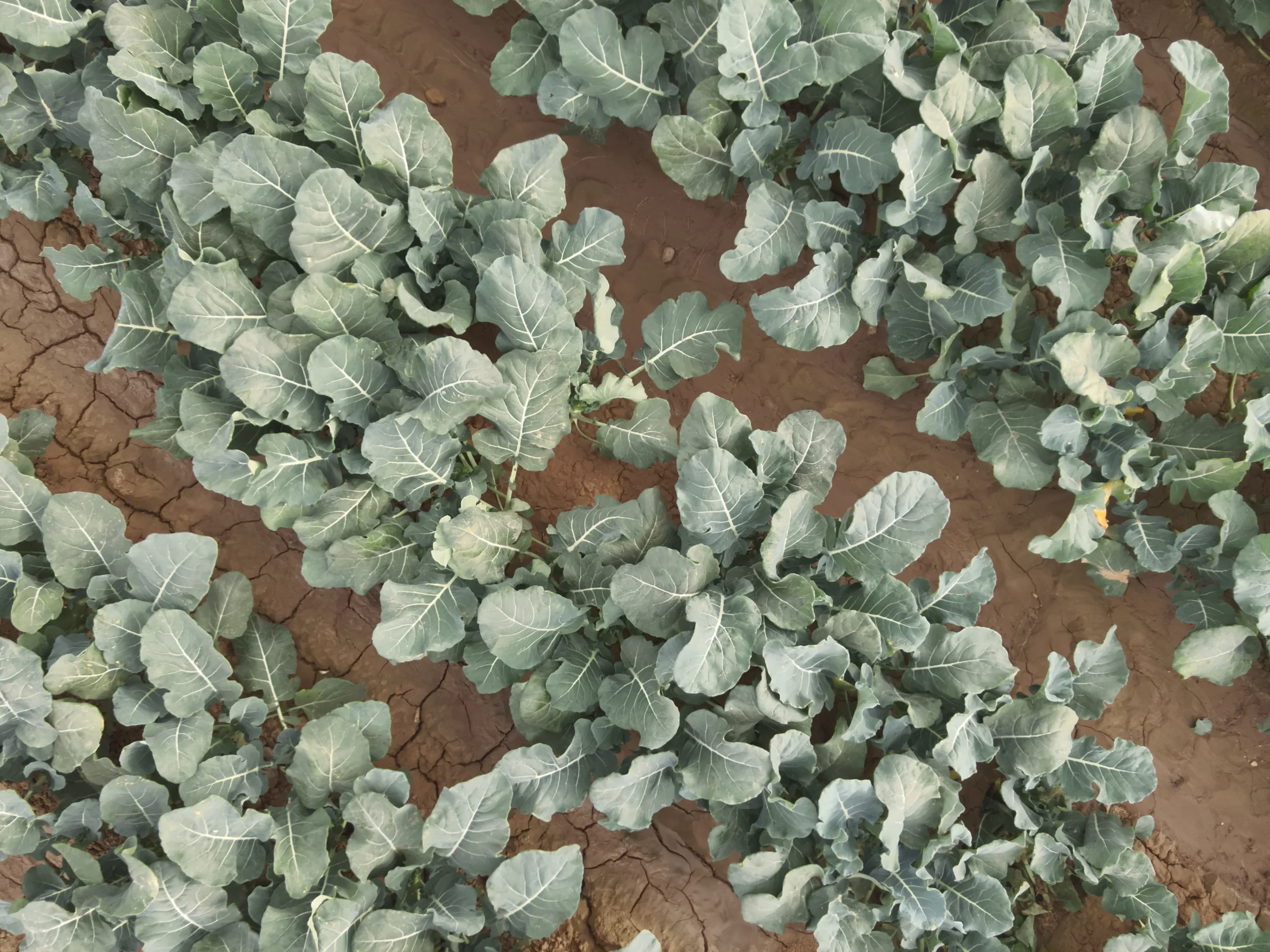
Broccoli Field
RGN OCN
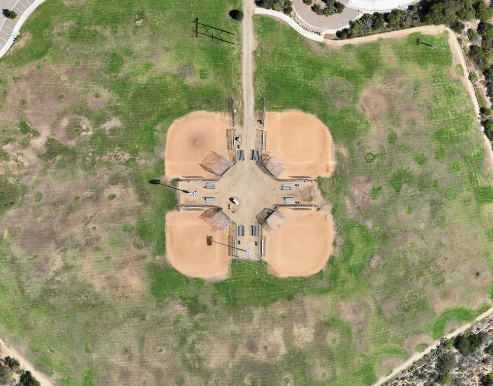
Park Grass (Sod/Turf)
RGN OCN
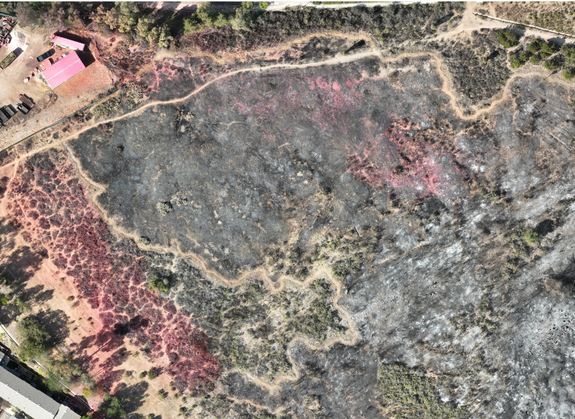
Burn Scar (Vegetation Fire)
RGN OCN
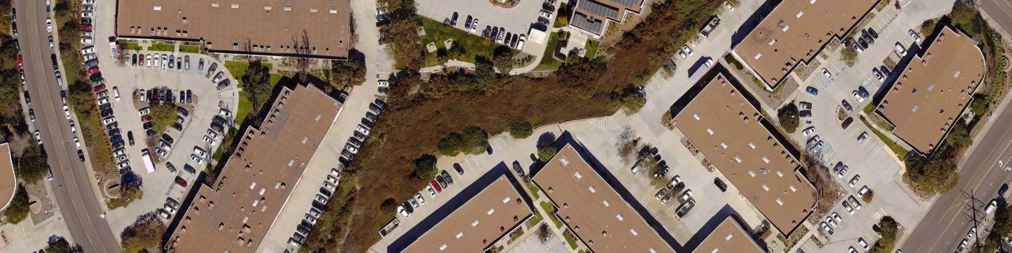
Office Buildings
RGB